

Interested in driving the Icefields Parkway in the Canadian Rockies? The drive connecting Banff and Jasper National Parks in the Canadian Rockies is considered one of the most scenic road trips in the world.
You’ve certainly come to the right place because I drove this incredible stretch of Highway 93 between Lake Louise and Jasper, stopping at glaciers, waterfalls, and viewpoints along the way. I also saw wildlife, turquoise lakes, dramatic mountain scenery, and did some of the hikes.
Use this guide to plan your own road trip on what many consider the most scenic drive in the world!
Driving Icefields Parkway Route Map
Top stops along the route from Lake Louise to Jasper in Alberta’s Canadian Rockies.
Overview of the Icefields Parkway
Considered one of Canada’s best road trips for its easy driving distance, majestic mountain scenery, waterfalls, wildlife, scenic lakes, and rivers along the route. For me, it was a bucket-list trip.
Route: Icefields Parkway (Highway 93)
Distance: 232 km or 144 miles, from Lake Louise to Jasper
Direction: Most people drive from Lake Louise (Banff) to Jasper. The southbound journey from Jasper is considered the more scenic
Estimated time: 1 to 2 days (can be longer depending on stops)
Difficulty: Easy paved highway with one mountain section
Cost: Parks Canada Discovery Pass or Daily Pass required. See below for information on the 2026 Canada Strong Pass.
Best Stops Along the Icefields Parkway
Starting from Calgary, Banff, or Canmore
Most people will depart from Calgary, Canmore, or Banff, where there is plenty of accommodation and restaurants. There is a lot to see and do before or after your Icefields Parkway Drive in all 3 of these places. There are also campgrounds in Banff National Park.
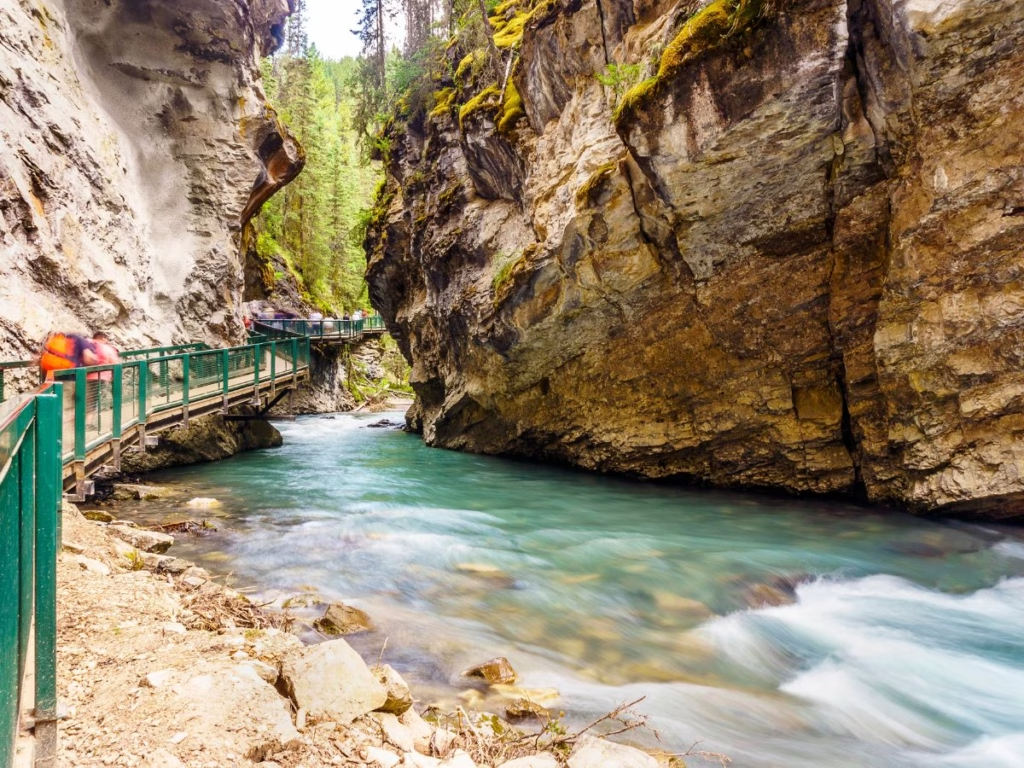
Wherever you are staying, take the Trans Canada Highway (Hwy 1) to reach the Icefields Parkway near Lake Louise. I do recommend that after leaving Banff, you exit at the more scenic Bow Valley Parkway (Hwy 1A), and if time permits, stop at Johnston Canyon to view the waterfalls. Lake Louise itself has a nice and scenic walk along the lake.
Banff Park Notice Closure Notices
The eastern section of the Bow Valley Parkway is closed to cars from March 1 to June 25 and September 1 to October 6, 2026. This is to reduce disturbance and increase habitat security for sensitive wildlife species during critical times. It is open to cyclists from 8 a.m. to 8 p.m. only.
Just north of Lake Louise is the intersection with Highway 93 and the start of the Icefields Parkway. While I list the hiking trails, there is a summary of the best ones later in the post.
1. Lake Louise to Bow Lake
The first section you will be driving in Banff National Park is to the Bow Lake Summit, which is about 40 km (25 miles).
The Hector Lake Viewpoint is along the way after about 18 km, to your left, and offers views of the lake. The Hector Lake Trail is an easy 4.7 km walk with the trail going along the river to the shores of a large, glacier-fed lake in the Bow Valley.
Next is the Mosquito Lake Trailhead with a 10.1 km trail and 434 meters of elevation, with amazing views.
Crowfoot Glacier Viewpoint is at roughly the 32 km mark. The glacier gets its name from its three spurs that resemble a crow’s foot. Also from the viewpoint is the 6 km Crystal Ridge Hiking Trail with a 630-meter climb.
Helen Lake Trail is a moderate 12.1 km trail with some nice inclines, which provide stunning views. It is accessed from the Helen Lake parking area across from the Crowfoot Glacier parking overflow.
The Bow Lake Viewpoint is an easy 0.8-km out-and-back trail, but with a limited parking lot that is sometimes full. The Bow Summit parking lot sits just a few kilometers further up the road.
Mosquito Creek & Bow Lake Accommodation
- Banff National Park’s list of campgrounds.
- The Parks Canada Mosquito Campground and Mosquito Creek Wilderness Hostel are located there if you wish to spend the night.
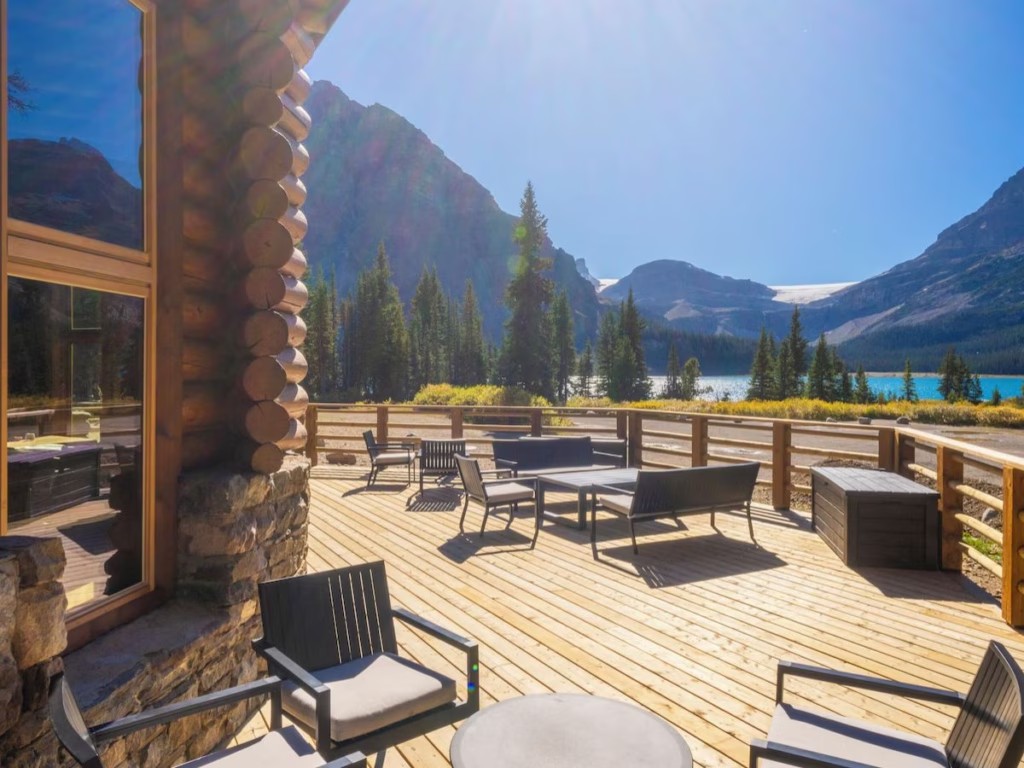
- The Lodge at Bow Lake is available if you wish to stay overnight.
2. Bow Summit & Peyto Lake Viewpoint
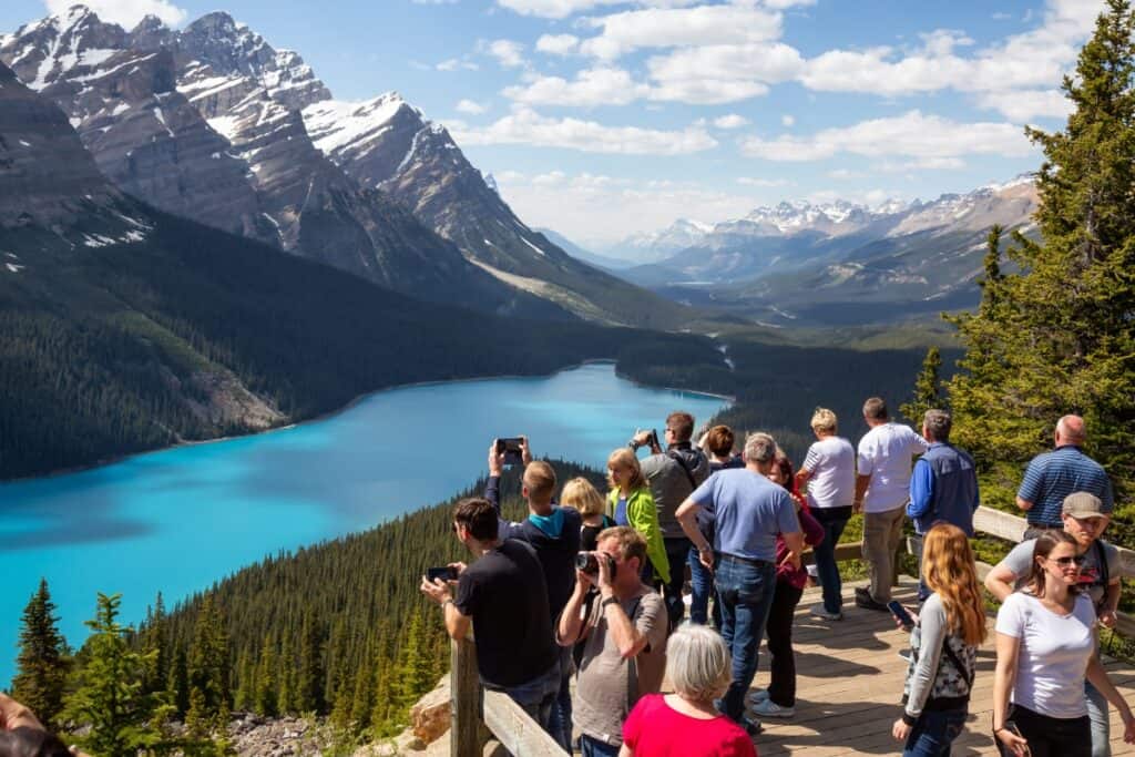
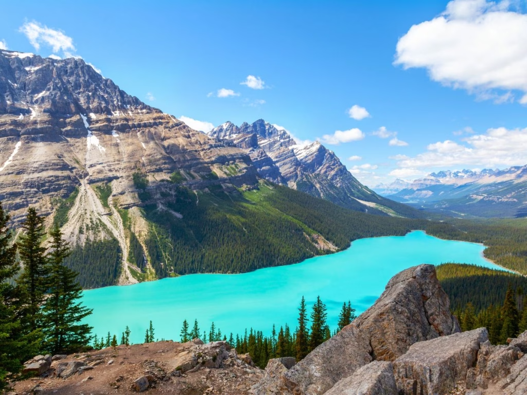
The Peyto Lake Viewpoint on the left side of the highway is worth a stop, and not because everyone does. Peyto Lake is famous for its neon-blue water, which has a resemblance to a wolf’s head. The lake is named after the trapper and trail guide Bill Peyto.
Take a short stroll up to the viewing platform on the paved path to admire the turquoise lake from high up. It is one of the most photographed lakes in Banff National Park. As lots of tour buses stop here as well, the best time to visit is early morning or in the evening.
If you want a longer walk, there are a number of other trails. Continue on the self-guided easy nature trail (a 0.6 km loop) for more stunning views. There is a more challenging route as well, taking up to two hours.
The Mount Patterson Viewpoint is about 56 km north of Lake Louise, with spectacular mountain views and the dramatic hanging Snowbird Glacier. For day users, there is a simple highway pullout. It is also the trailhead for the challenging 20.4 km backcountry hiking route. The next stop is the Waterfowl Lakes.
3. Waterfowl Lakes to Mistaya Canyon
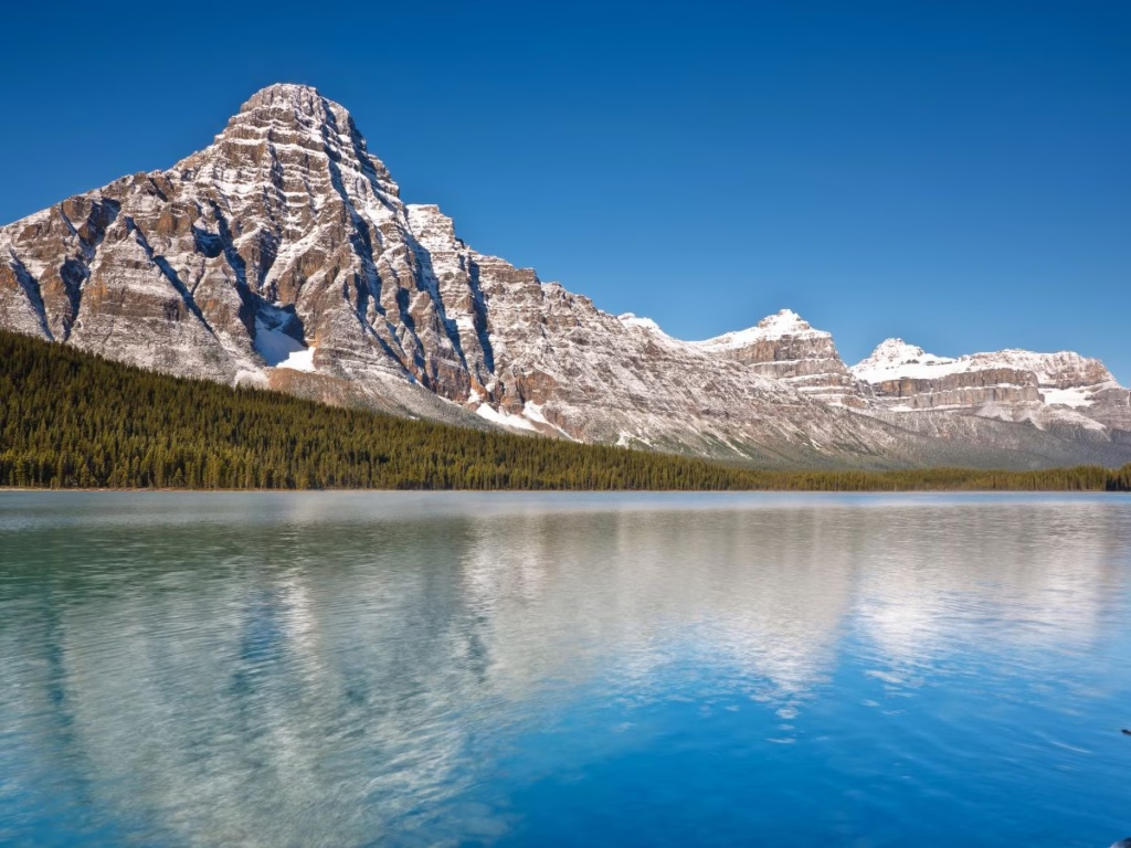
The Waterfowl Lakes South Viewpoint is a short 0.5 km walk off the Icefields Parkway. The Waterfowl Lakes provide a quieter, scenic stop and a great picnic or snack spot.
The 8.4 km Chephren Lake route trailhead in the campground is a low-lying trail that mostly follows the valley floors, but with stunning views.
Peyto Lakes & Waterfowl Lakes Camping
- Parks Canada Silverhorn Creek is an RV-friendly campground offering a rustic camping experience, well-located just minutes from Waterfowl Lakes, Bow Lake, and the Peyto Lake viewpoint.
- The 110-site Parks Canada Waterfowl Lakes Campground sits between Upper and Lower Waterfowl Lakes on the Mistaya River with limited services.
4. Mistaya Canyon to Saskatchewan Crossing
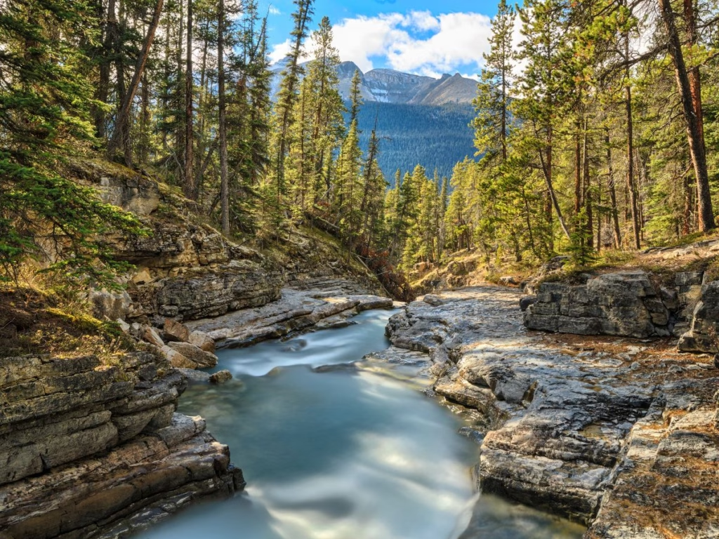
The Mistaya Canyon Trail is a short walk to the waterfalls; there is a steep section on the return. You can continue to the very popular and deep canyon for a total of 1.9 km. It is located about 5 km south of the Saskatchewan Crossing.
The Crossing Resort, just past the David Thomson Highway (an alternative route from central Alberta and north of the Saskatchewan River has the only services for miles with a gas station, food, essential supplies, and a washroom stop.
Saskatchewan Crossing Accommodation
- The Crossing Resort features two restaurants, Wi-Fi, and needs to be booked in advance as it sells out during busy periods.
5. Saskatchewan Crossing to Columbia Icefield
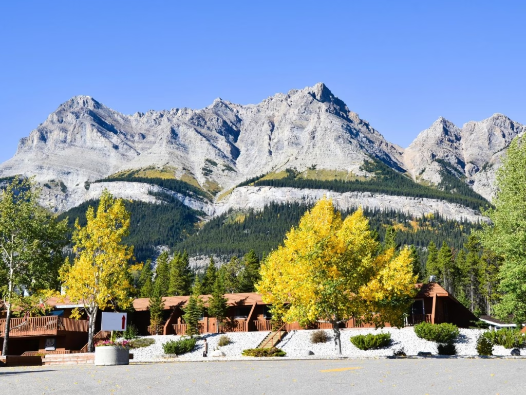
The 18 km Sunset Pass Trail goes to Pinto Lake with meadows and steep climbs. The 16.3 km Nigel Pass Trail has gradual elevation with 506 meters of elevation gain and spectacular views.
Weeping Wall Viewpoint to see a series of waterfalls, which looks like a mountain with a river of tears.
Big Bend, about 35 km north of the Saskatchewan Crossing, is a scenic and massive, 180-degree hairpin turn gaining 2,035 meters (1,577 feet) to ascend Sunwapta Pass. During my road trip, I saw Bighorn Sheep grazing along the side of the Big Bend.
The short Bridal Veil Falls Viewpoint is near the highway, while continuing on the 1.3 km Panther Falls Trail. The trail has a few switchbacks against a few rock faces, and you will find numerous beautiful views of the river.
Parker Ridge Trail is a great short and strenuous 6.8 km hike. There is a series of switchbacks through the forest with creeks and small waterfalls, with a view of the Saskatchewan Glacier and the headwaters of the Saskatchewan River.
Sunwapata Pass is the boundary between Banff and Jasper National Park, the largest in the Canadian Rockies.
The Wilcox Pass Trail starts from the campground. It is a popular hike with great views of the Columbia Icefield across the valley, giving access to several scrambles.
Arrival at the Columbia Icefield.
Rampart Creek Accommodation
- List of campgrounds in Jasper National Park
- The Parks Canada Rampart Creek Campground offers a secluded and rustic camping experience, 40 km from the Columbia Icefield. The campground backs onto the banks of the North Saskatchewan River with impressive views of the river valley and surrounding mountains. There is also a hostel located there.
- HI Rampart Creek Hostel has easy hikes out the back door to canyon waterfalls or clifftop vistas. They offer basic 6-bed mixed dorms.
Columbia Icefield Accommodation
- The Parks Canada Wilcox Creek Campground has 46 sites with no reservations accepted
- Parks Canada Columbia Icefield Campground nearby offers tent & separate RV Campgrounds.
- The Glacier View Lodge is an option if spending the night with a one-minute walk to the Icefield Centre.
6. The Columbia Icefield and Athabasca Glacier
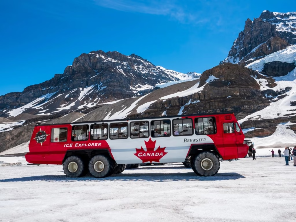
Lots of options at the Columbia Icefield and the very accessible Athabasca Glacier. I stopped for a break in the driving here. There are the Altitude and Chalet restaurants, along with a Starbucks, as dining options.
Visit the Glacier Discovery Centre to learn about glaciology, alpine ecosystems, and the geological history of the Canadian Rockies.
You will want to do the Columbia Icefield Skywalk and Ice Explorer, where you ride the Ice Explorer onto Athabasca Glacier, walk on ancient ice, and take in breathtaking valley views from the glass-bottomed Skywalk.
And if interested in only the Skywalk option, it has only a glass-bottomed observation platform above the Sunwapta Valley.
If you want to hike on your own, there is the moderate 3.7 km Forefield Trail of the Athabasca Glacier, which connects with the 1.4 km Toe of the Glacier Athabasca Trail.
7. Columbia Icefield to Sunwapta Falls
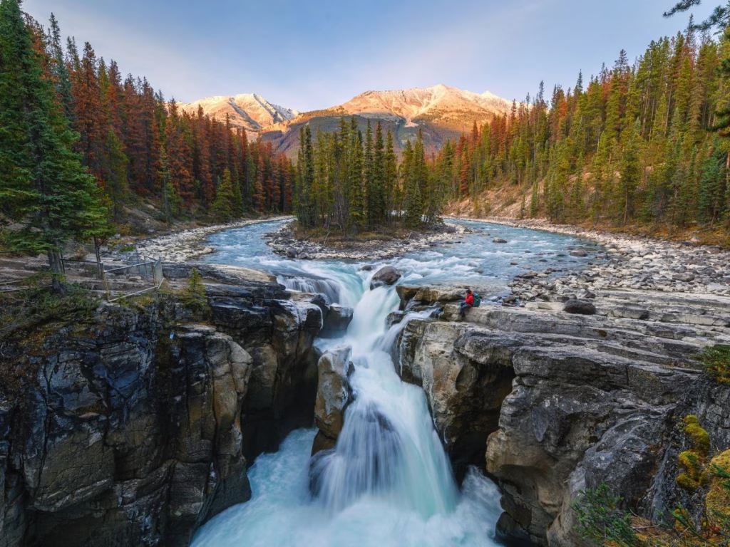
Driving from the Columbia Icefield to Sunwapta Falls takes about 40 to 45 minutes, covering roughly 49 km (30 miles).
Tangle Falls are right beside the highway with only a “lookout sign”. The falls are right across the highway from the parking lot, with no official trail, so a bit of a climb if you do want to reach the top of the falls.
Stutfield Glacier Viewpoint is another of the Columbia Icefield glaciers, which can be seen from Highway 93 and is worth a brief photo stop.
Beauty Creek River Hike is a short 1.1 km, and the Stanley Falls Trailhead has a relatively easy, steady, and short 3.4 km uphill hike to see the falls.
The Upper Sunwapta Falls are located next to the Icefields Parkway with a short walk. The Lower Sunwapta Falls are a further 3.2 km.
Sunwapata Falls Accommodation
- HI Beauty Creek Wilderness Hostel is situated right alongside the Sunwapta River, and this location offers amazing views of Mt. Kitchener and Tangle Ridge. They have a 14-bed mixed dorm.
- Parks Canada Jonas Campground with 25 sites is best suited for tents as well as motorhomes and trailers under 7.62 metres (25 feet).
- The Sunwapata Falls Rocky Mountain Lodge is located 30 minutes from the Columbia Icefield and 53 km (33 miles) south of Jasper
8. Sunwapta Falls to Jasper
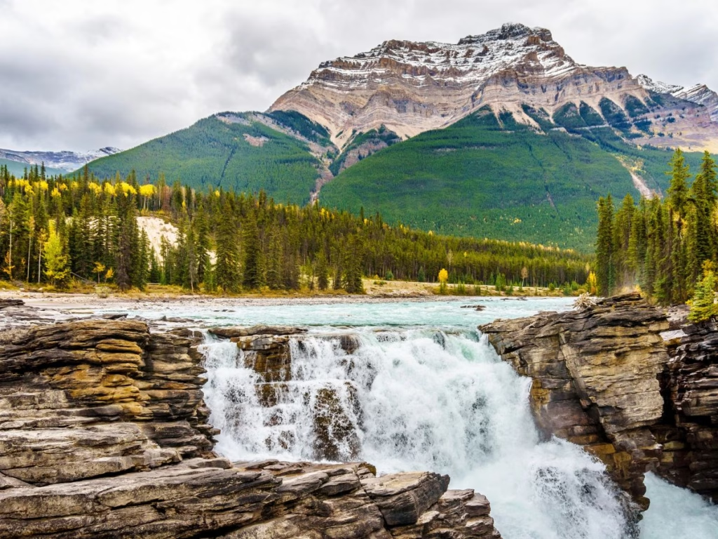
The final section of the Icefields Parkway from Sunwapta Falls to Jasper is only 55 km (34 miles).
I stopped at Athabasca Falls (as did everyone else on the road) with a short walk to see and photograph the falls.
Brief stop at the Goats Glaciers Viewpoint with a short walk.
Valley of the Five Lakes Trail is a pretty 4.6 km hike just south of Jasper and usually one of the parkway’s most popular hikes. It was severely affected by the 2024 wildfires and may not be open when you visit.
Arrival in Jasper.
Accommodation South of Jasper
- Parks Canada Mount Kerkeslin Campground, with 34 sites, is an excellent stopover for tenters and RVers. Located 34 km from Jasper.
Finishing in Jasper
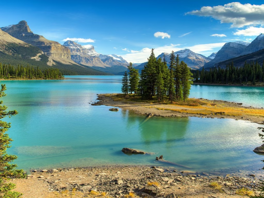
After your 232 km drive, you arrive at the Jasper Townsite with accommodation, restaurants, shops, and plenty of attractions.
I spent a few days exploring the Jasper area before returning the same route to check out some of the places I missed on the northbound route. You can also take the Yellowhead Highway (A-16) east 365 km (227 miles) to Edmonton or the same highway west into British Columbia.
Best Hikes Along the Icefields Parkway
There are many hiking trails to choose from, so this is a summary of some of the best. AllTrails can help with planning the routes.
Hikes you should do before starting your drive
Grotto Canyon: Located just outside of Canmore, with this half-day hike, you walk up a creek bed surrounded by canyon walls, with petroglyphs and waterfalls.
Johnston Canyon: Not located along the Icefields Parkway, but along the Bow Valley Parkway. For a longer hike, continue to the Ink Spots. The Johnston Canyon Trail is open all year.
Lake Louise: Also not located on the Icefields Parkway. The walk along the lakeshore is open all year, with the hike to the Tea Room only in the summer. In winter, besides the walk, there is skating, cross-country skiing, an ice castle, and sleigh rides.
Short & Easy Hiking Trails under an hour and family-friendly
Mistaya Canyon: A 0.5 km descent (about 30 minutes) to a footbridge over the canyon and a river view. There is a longer extension available.
Peyto Lake Viewpoint: A popular stop with a short paved walk to see the iconic wolf’s-head-shaped turquoise lake.
Athabasca Glacier “Toe of the Glacier” Trail: A short and scenic 1.4 km in-and-out trail from near the Columbia Icefield Discovery Centre that goes to the glacier’s edge.
Panther Falls & Bridal Veil Falls: With a short descent off the Big Bend.
Athabasca Falls and Sunwapta Falls: Both of these trails are short to the viewpoints to see the waterfalls, paved, and family-friendly.
The Valley of the Five Lakes near Jasper: if open, this is definitely worth the stop. I did the trail prior to the 2024 wildfire and loved it.
Moderate Half-Day Hikes that are considered must-do
Parker Ridge: Is perhaps the single most recommended hike on the parkway. A 4 km return hike with switchbacks leading to dramatic views of the Saskatchewan Glacier – headwaters of the Saskatchewan River.
Wilcox Pass: Offers a view of the Athabasca Glacier and is 8 km return. Bighorn sheep are frequently spotted, and then there is the alpine scenery.
Bow Glacier Falls: Starts at Bow Lake, follows the lakeshore to the base of the falls, and is about 9 km return.
Bow Summit Lookout: is a kid-friendly extension beyond the Peyto Lake Viewpoint, 6 km return to the highest point on the parkway.
Chephren Lake: A 7 km (return) hike with a gradual elevation gain of 80 meters to the lake without the Lake Louise crowds. Starts from the Waterfowl Lakes Campground.
Longer & More Challenging Hikes
Helen Lake: In Banff National Park and about 12 km return, a consistent and gentle grade ensures that it doesn’t take long to reach treeline as you head into open alpine terrain with stunning mountain views.
Cavell Meadows and Path of the Glacier: At the Jasper end and near Mt. Edith Cavell, with views of the Angel Glacier. When I went in late June, part of the trail was closed due to snow conditions, but still worth the stop.
Tips for Planning Your Driving on the Icefields Parkway
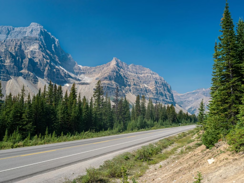
- Fill up with gas at Banff or Lake Louise before leaving, as there are few opportunities along the route. There is a gas station at Saskatchewan Crossing
- Limited services along the route, so carry your road trip picnics or snacks with you, although there are some stops at Saskatchewan Crossing and Columbia Icefield
- Start early for parking availability, and some lots fill up (particularly Peyto Viewpoint).
- You have a better chance of seeing wildlife with an early morning start. I saw a black bear driving to one of the trailheads
- Drive slowly and expect lots of photo stops
- Download offline maps, as Wifi is limited or non-existent in places
- Check if the hiking trails you are interested in are open
- The best time to visit is June to September, but the Canadian Rockies’ weather is unpredictable, and you can get snow anytime
- Parks Canada requires a pass for both parks. However, the Canada Strong Pass provides free admission on some dates.
Canada Strong Pass for 2026
In 2026, from June 19 to September 7, the Canada Strong Pass provides free entrance to all Canadian National Parks and Historic Sites and discounts on overnight accommodation. Also, discounts on some museum visits and with VIA Rail.
Best Time to Drive the Icefields Parkway
Summer: from June to September is the best time for weather and road conditions. However, it can be busy, and accommodation will be limited.
Fall: there are fewer visitors, and it is the popular Golden larch season. More chance of snow.
Winter: the road can be tricky, but you are rewarded with snow-covered scenery. Many of the trails will be partially or fully closed, although the viewpoints should be open. There will be fewer people.
Wildlife You May See
Keep your distance from the wildlife for safe viewing. The park offices in Banff and Jasper post wildlife sightings by visitors.
- Bears – I saw a black bear during one of my visits, but there are also grizzlies.
- Cougars – In places such as the Sunset Pass trail
- Mountain goats
- Elk – expect to see lots, particularly at the entrance to towns such as Canmore & Banff, as they like to be near towns, as there are fewer predators.
- Bighorn sheep – I saw them standing in the middle of the highway in one place, and at the Big Bend, so you can expect to see them as well.
Where to Stay Along the Icefields Parkway
Hotels
- Bow Lake – The Lodge at Bow Lake has amazing mountain and lake views.
- Saskatchewan River Crossing – The Crossing has 2 restaurants, a general store, gas, and they even have wifi. Good place to break up the journey.
- Sunwapta – The Sunwapta Falls Rocky Mountain Lodge is a 50-minute drive south of Jasper, and close to the Columbia Icefield.
- Columbia Icefield – The Glacier View Lodge overlooks the Athabasca Glacier.
- Fairmont Jasper Park Lodge – Jasper’s iconic resort
- Pyramid Lake Resort – quieter Jasper option just outside town
Hostels
- Mosquito Creek Wilderness Hostel in Banff National Park is rustic and an excellent place for backpackers
- HI Rampart Creek Hostel offers basic 6-bed mixed dorms.
- HI Beauty Creek Wilderness Hostel is located beside the Sunwapata River with 14-bed mixed dorms
Campgrounds
Parks Canada operates a series of campgrounds along the journey, many of which are on a first-come basis. In 2026, the Canada Strong Pass provides discounts on some dates.
What to Pack
- Layers and rain gear all year round, as the weather is unpredictable
- Snacks and water
- Camera and binoculars
- Parks Canada pass
- Hiking gear if you plan to walk some of the trails
- A list of 35 road trip essentials
Suggested One-Day Icefields Parkway Highlights Itinerary
A full day on the Icefields Parkway is less about racing from point A to point B and more about stopping constantly because the scenery just keeps getting better. Even though the drive itself is only about 232 km, expect this to take an entire day once you factor in viewpoints, short hikes, waterfalls, wildlife spotting, and photo stops.
This itinerary works best in summer or early fall and assumes you’re driving north from Lake Louise toward Jasper.
7:00 AM – Start early from Lake Louise or Banff as the parking lots are quieter, and you’ll have a better chance of spotting wildlife along the highway.
7:45 AM – Bow Lake is the first stop to see the turquoise lake and mountains
This is a great place to slow down and settle into the drive.
8:30 AM – Peyto Lake Viewpoint to beat the crowds at one of the most iconic viewpoints in the Canadian Rockies.
10:00 AM – Mistaya Canyon, a quick but worthwhile stop along the Parkway to see the canyon and rushing water
11:30 AM – Columbia Icefield Area to explore the Glacier, visit the Skywalk, and have lunch. If you want to do the glacier tour, plan for at least 2–3 hours here.
2:30 PM – Sunwapta Falls for one of the Parkway’s easiest waterfall stops.
3:30 PM – Athabasca Falls to view the impressive waterfalls
5:00 PM – Arrive in Jasper. I stayed for a few nights for more hiking and other activities
After a full day of scenic stops, Jasper is the perfect place to relax for the evening.
Bicycle Touring the Icefields Parkway
While most people drive the Icefields Parkway, it is not uncommon to Cycle the Icefields Parkway Route. From Canmore, take the Legacy Trail, which parallels the Trans Canada Highway to Banff. Then take the connector bike path through the woods to the Bow Valley Parkway.
Cycle the Bow Valley Parkway along the road. In late spring and in the fall, this road is closed to vehicle traffic and available to cyclists from 8 a.m. to 8 p.m. The Bow Valley ends near Lake Louise. It is a short cycle to the Icefields Parkway.
Is the Icefields Parkway Worth It?
In a word, yes. It is one of Canada’s most unforgettable drives with numerous stops all offering the scenic grandeur of the Canadian Rockies. I loved seeing the wildlife along the way.
The driving was easy, and I included the towns in Banff & Jasper National Parks, both with plenty of their own charm.
FAQs: Driving the Icefields Parkway
How long does it take to drive the Icefields Parkway?
At 232 km, the drive can be done in one day. However, depending on stops along the way, you may wish to take several days and include time in both Banff and Jasper.
Is the Icefields Parkway difficult to drive?
No, easy driving, with only the Big Bend section up or down a mountain, where you need to pay more attention.
Can you do it in one day?
Yes, you can drive the Icefields Parkway in one day.
Are there gas stations along the route?
There are limited gas stations along the route, so fill up in Banff or Lake Louise prior to departing. There is also a station at Saskatchewan Crossing.
Is it better to drive from Banff to Jasper or Jasper to Banff?
It is more scenic to drive from Jasper to Banff. However, many fly into Calgary, which is closer than Edmonton, so the drive from Banff to Jasper is more popular. Some people drive from Banff to Jasper, spend a few days there, and then drive south to check out places they missed on the northbound journey.
Final Thoughts
The Icefields Pathway is one of the most Scenic Drives in Canada and makes for an amazing road trip in the Canadian Rockies. With all the mountains, lakes, waterfalls, hiking trails, wildlife, and awesome views, what is not to like? Start planning now!