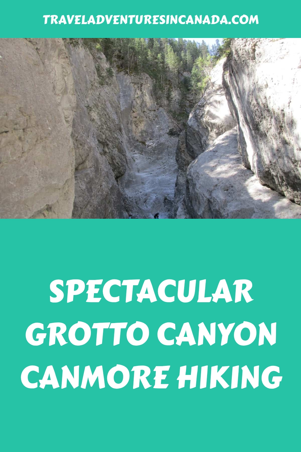


Looking for an interesting short hike near Canmore?
I have family members living in Calgary who also love outdoor activities, so I often visit the Grotto Canyon Canmore hike, which is one of the trails we sometimes do.
If you are not familiar with Grotto Canyon, this guide tells you how to find the trailhead and what to expect on the walk itself. One of my favourites as it makes for a nice morning with plenty of time in the afternoon for other Canmore activities.
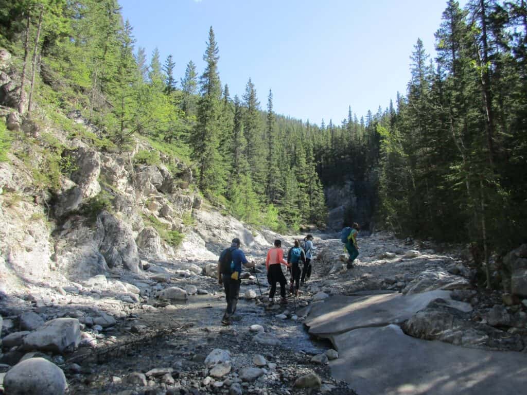
The Grotto Canyon Canmore hike sounded interesting as it was described as easy with pictographs, a narrow canyon, and scenic views of the Bow Valley, great for a morning walk. As part of Kananaskis Country, it is an excellent alternative to Banff National Park in the other direction.
Distance: approximately 4.2 km (2.6 miles) out and back
Elevation Gain: about 100 meters, although some websites say up to 395 meters
Estimated Time: 2 to 3 hours walking time round trip
Difficulty: easy to moderate hike
Suitable for: individuals, families, and groups, including beginners
Starting from the Trail Head
Starting from the Grotto Canyon trail parking lot, the first section was frankly not too interesting, with a minor climb along a very rocky trail following power lines. There was the Baymag Magnesium Oxide Processing Plant off to the left, humming along quite loudly. After about 20 minutes of walking, we came to an open area with a bench overlooking a former gravel pit, again not too interesting so fa,r but things were about to get better.
We continued on the path, and just when we were about to give up hope, the trail unexpectedly started to climb. The landscape opened up into beautiful, lush grassland meadows filled with wildflowers and small streams running through them. As we climbed higher, the view of Grotto Mountain peeking over a ridge became visible in the background.
Also to our left, the view of Gap Lake and the scenic Bow Valley with a freight train heading west towards Canmore was framed by mountains on both sides, picture-perfect. Overall, you can expect a 50-meter (150-feet) elevation gain during this first section.

Walking up Grotto Creek
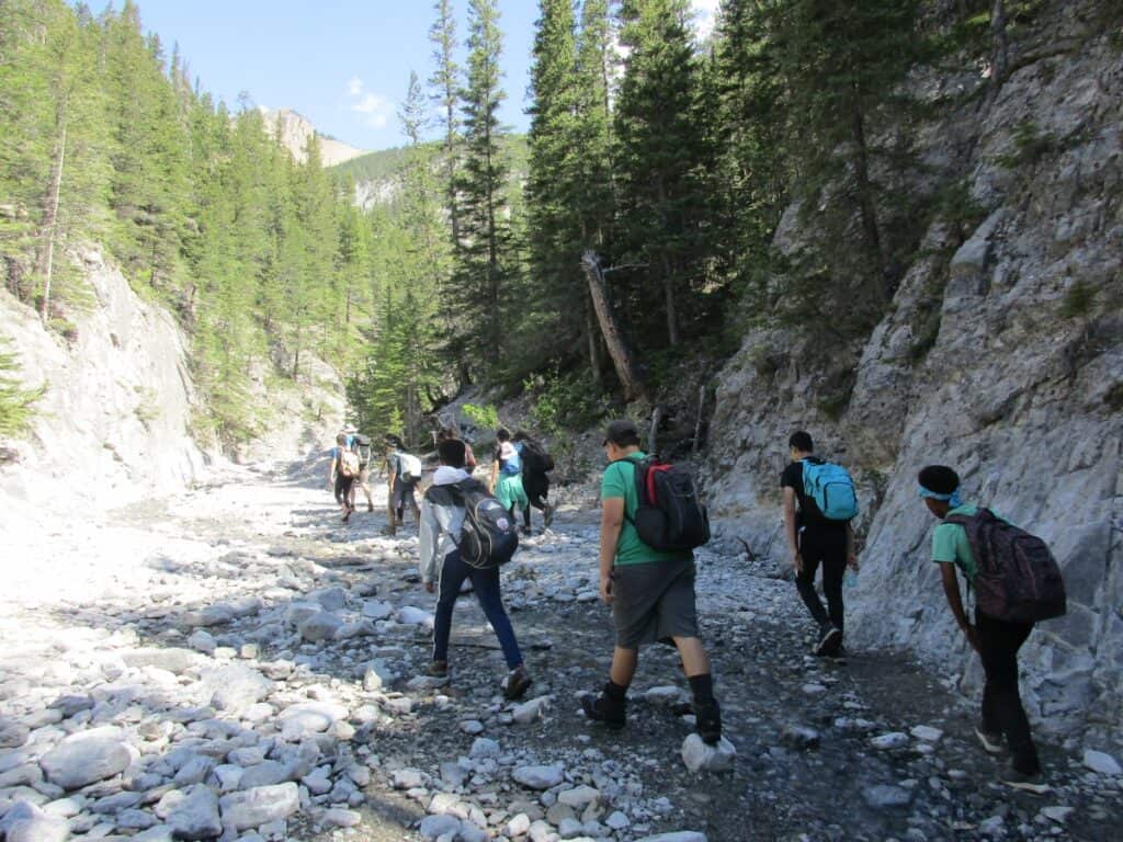
You now enter the narrow Grotto Canyon, walking up the creek bed as it twists and turns. There was not a lot of water flowing during our late May visit, which made it easy to cross as we were following the best route up this narrow canyon. In sections, the grips of winter remained as we had to walk across the ice covering, although mud had been frozen into the surface, providing traction.
The Grotto Creek is now a shallow stream and is all that’s left of the glacial runoff that carved the canyon 10,000 years ago and is now the route of the rocky trail. In some places in this early section, there was a parallel trail up on the banks, which we used on the return journey.
This is also known as the Grotto Canyon Icewalk, and even during our visit in late May, we had to hop from icy section to icy section as we progressed. It wasn’t slippery as the ice was covered with dirt left from all the hikers.
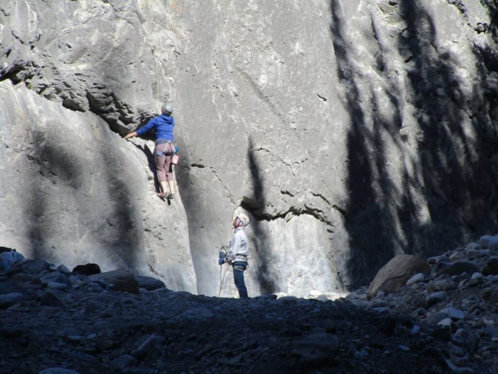
In one place, the canyon widened a bit, and we discovered several sets of rock climbers tackling the steep canyon walls. We also met a school group, a guided tour and many other individual hikers during our visit to this popular trail.
Grotto Canyon Pictographs
On the left of one canyon wall were pictographs (rock art) that could barely be seen (viewed best through camera lenses), although we could make out a canoe, a person, and a few other items.
Continuing further up on an elbow turn, we could see waterfalls. And just past this section, the Grotto Trail opens up a bit wider. Some say the pictographs are between 500 and 1000 years old and may have been created by the Hopi Indian tribe, which lives in what is now the state of Arizona.
Waterfalls
As you continue along the route, still framed by the narrow canyon walls, expect to see waterfalls flowing into the creek on your right.
Hiking in Different Seasons
The local Tourist Board guide mentions that this Canmore hike changes with the seasons, as the canyon floor is likely to be wet with a light-flowing creek. In early spring, snowmelt can cause the creek to flood. And for a winter hike, the Grotto Canyon ice walk adventure is magical when the canyon floor freezes into a sheer sheet of blue ice (we still saw the remains of this even in late May). Ice cleats are recommended if you are hiking in the winter.

Getting to the Trailhead
If in the Canmore area, head east along Highway 1A (Bow Valley Trail) from Canmore. After about 10 minutes, you will arrive at the Grotto Pond Day Use Area on your left. There are washrooms and garbage cans in the paved parking lot.
From downtown Calgary, it’s about an hour’s drive via the Trans-Canada Highway, merging onto Highway 1X North (Exit 114) and crossing the Bow River. A short distance brings you to the T junction, where you take Highway 1A West (Signs say Kananaskis/Exshaw). Follow 1A for 11.2 km (7 miles), turning right into the parking lot.
Grotto Canyon Trail Map
Trail map of the Grotto Canyon Trail. You can also find the route on AllTrails.
Other Hiking Tours in the Canmore Area
Where to stay in Canmore
During my visit, I stayed at the Rocky Mountain Ski Lodge, which offers several styles of rooms, lots of parking, and is in a convenient location within walking distance of shops and restaurants. Interesting that the tour guides from several outdoor adventure companies also used this as their base.
You can also use booking.com to locate hotels, motels, and cottages.
FAQs: Grotto Canyon Canmore
How long is the Grotto Canyon hike?
It is about 4.2 km or 2.6 miles in length out and back, taking about 2 to 3 hours to complete.
How hard is the Grotto Canyon hike?
No, it is fairly easy with a small incline at the start, and you need to walk over small rocks and some ice, but once you reach the canyon, it is fairly flat. It is rocky, so I recommend wearing hiking boots, and it is suitable for families or beginners.
Do you need a pass for the Grotto Canyon?
Yes, a Kananaskis Conservation Pass is required. If visiting the area for more than six days, consider getting the annual pass. If doing a lot of hiking in Canmore, that is something to consider.
Are there limitations for groups visiting Grotto Canyon
Yes, so check out the Alberta Parks website for current rules, as they limit group size for various trails.
Are there bears in Grotto Canyon?
There is a very low chance of meeting a bear, but always be prepared in this part of the country.
Is Grotto Canyon in Kananaskis?
Yes, it is in Bow Valley Provincial Park, part of Kananaskis
Can I take pets hiking in Grotto Canyon?
Yes, as long as they are kept on a leash.
Where do you park for Grotto Canyon?
The Grotto Canyon Trailhead is located at the Grotto Pond day-use area just off Hwy 1A, about 10 minutes east of Canmore.
How long does Grotto Canyon take?
The Grotto Canyon hike near Canmore takes about 2 to 3 hours. It takes longer if you walk up and back along the stream, so in some places many people take the parallel trails along the ban,k which is much quicker.
How to Prepare for the Hike

What to bring hiking Grotto Canyon
To prepare for your hiking adventure, be sure to pack accordingly, but it will depend a lot on the season:
Information on other parks with great trails
- Point Pelee National Park in Ontario also has many interesting trails
- Also, if visiting Ontario and looking for some good hiking. Read our article on Killbear Georgian Bay Hiking
- Nearby are hiking trails in BC National Parks
Final Thoughts: Grotto Canyon Hiking
While this is one of the best hikes in Canmore, it does not have the waterfalls of Johnston Canyon or the distances of the Lake Minnewanka trail; the Grotto Creek Trail makes for an interesting and fun walk.