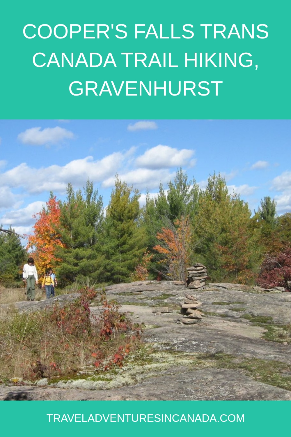
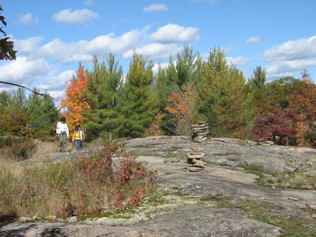

Because it is located just north of Toronto, Cooper’s Falls is a hike I often enjoy. But the first time, I was expecting to see waterfalls, but instead found a floating boardwalk, numerous small lakes, and the Canadian Shield.
I found out later that the actual Coopers Falls is located on private property nearby in a village of the same name. You can view the falls from the road during spring and in winter. It is easy to miss, as there are only a few houses, the General Store, the Methodist Church (built 1894), and a lumber mill. Considered a ghost town, although a few people still live there.
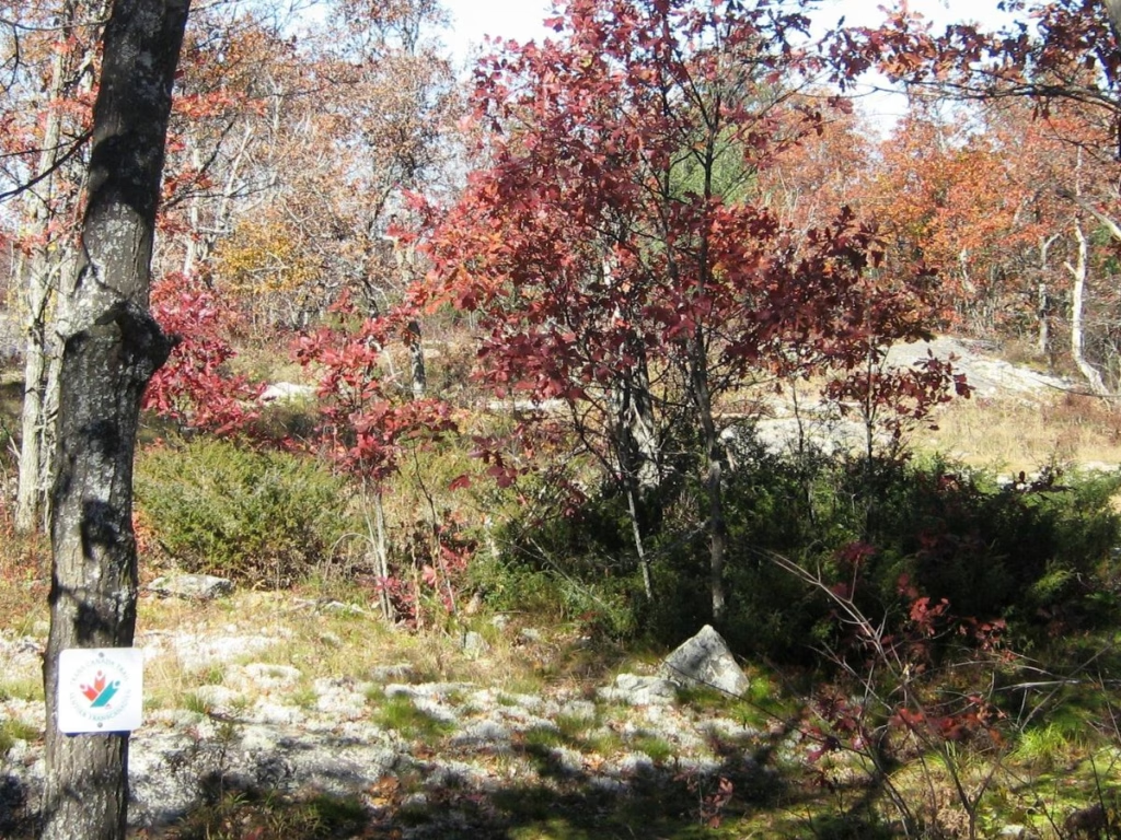
If you are looking for a beautiful autumn hike, then the Cooper Falls part of the Trans Canada Trail provides outstanding fall colour, plus the rugged beauty of the Canadian Shield. This part of the trail is not well-travelled, so do not expect to meet a lot of other hikers.
Cooper’s Falls Trail Highlights
- Floating boardwalk
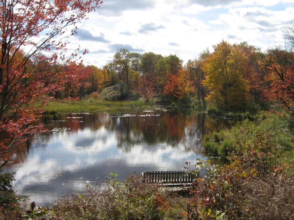
- Two scenic lookout spots, one with a bench
- A series of small lakes and beaver ponds surrounded by forest
- Walking across the Canadian Shield
- Opportunities to see wildlife, particularly in deer habitat
Cooper’s Falls Trail Details & Information

Route: You can start at either end of this trail, which is located just off Highway 11 near Gravenhurst. I recommend going north to south.
Length: 7.3 km one way
Difficulty: challenging, with rocky sections
Elevation Gain: 328 metres
Suitable for: hikers, nature lovers, snowshoeing
Trailhead Location: AllTrails map, but if looking for a better paper copy, the Cooper’s Falls Recreational Trail from the town of Gravenhurst is better.
Things to know before you go
Cost: There is no charge for parking or hiking this trail
Watch the Weather: Following a rainstorm, the trail can be muddy and slippery
Bugs: Can be buggy in late spring and early summer
Shortcut: About halfway along the trail, the route follows Larroger Road (a quiet cottage road) for a short stretch. If you wish a shorter hike, just follow it as it winds through the woods until reaching Housey’s Rapids Road.
Note: One reviewer on AllTrails mentions the steep entrance roads and the need for a 4×4 vehicle. This is incorrect: see my parking information below for the best option.
Getting to Cooper’s Falls Trailhead
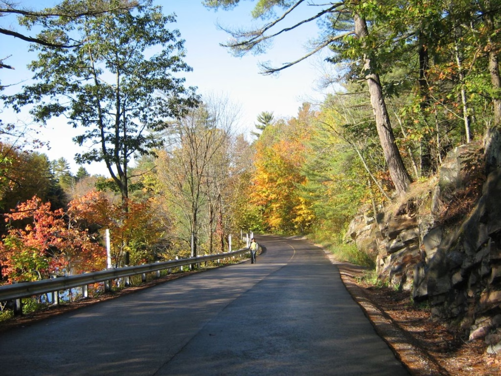
Southern Parking Lot: From Toronto, take Hwy 400 and 11 north, exiting at Cooper’s Falls Road (Simcoe Road 52) just north of the famous Weber’s Restaurant at Severn Bridge. Drive about 10 km. Just past the few houses that make up Coopers Falls and along the Black River, you will see a large white Trans Canada Trail sign.
At the trailhead, there is a small parking lot with a very rugged drive, so just park by the side of the road. The distance from central Toronto to the trailhead is 165 km.
The best option: Follow the directions above and continue along Coopers Falls Road, turning left on Housey’s Rapids Road, and go about 5.2 km to number 1990, across from Fire Route #4. There is a good but small parking lot on your left. The trailhead is just to the south.
Cooper’s Falls Trail
This description is the route from south to north, which I hiked for the first time on the trail. I now go to the parking lot and hike from north to south, but it is your choice.
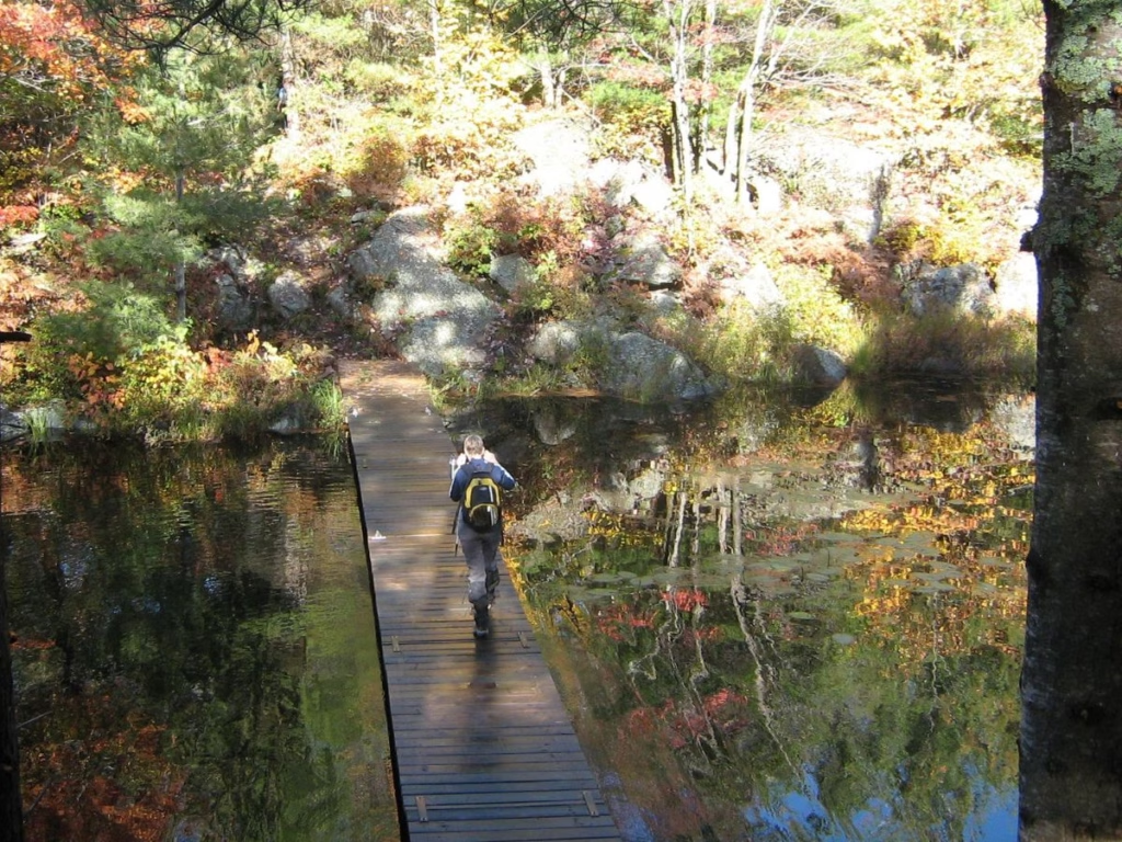
I started in a heavily forested section for the first few kilometers. I then reached the rocky shores of a river, which I crossed on a long wooden floating boardwalk. The next part is rocky with a lot of moderate ascents and descents over small ridges. At times, you see lakes to either side so that you can take in the views.
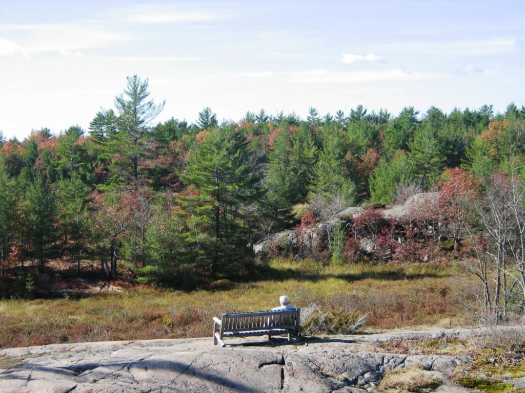
Beside a small beaver pond is a lookout point with a bench high on the rocks and looking out over Kahshe Lake Barrens Conservation Reserve.
The trail is easy to follow with a combination of painted white blazes on the trees and when walking across the rock of the Canadian Shield rock piles. Each rock pile is a little different, and whoever built them must have had a lot of fun creating these statues, as each is unique and impressive to view.
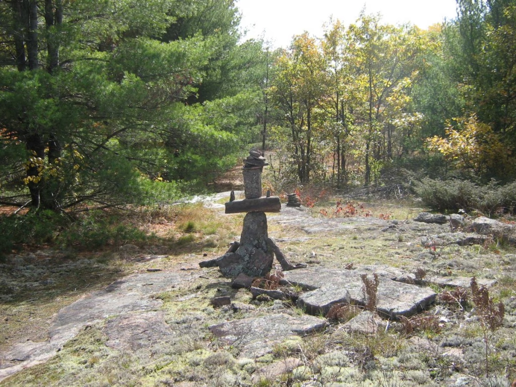
You reach a dirt road (Larroger Road), which the route follows for about half a kilometer before you turn right and head off across the Canadian Shield again. You soon come to another small lake, which makes a pretty lunch spot.
Further along, with a few ups and downs, there is a short boardwalk along one side of a lake. Sometimes, the section just past this can be flooded.
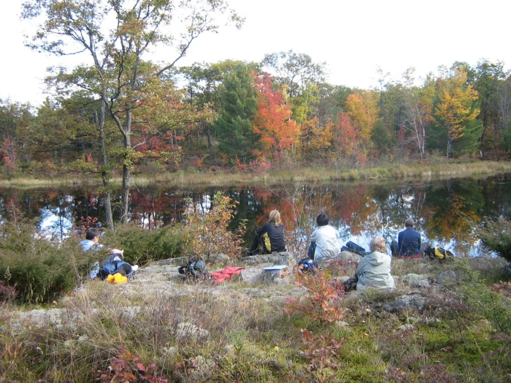
This section is a bit more up and down than the first half, but also includes rugged rock ridges and several scenic lakes, one with a bench to relax and take in the view. Also, there is a section along planks (several partially broken) through a marsh.
I normally walk the 7.3 km before returning the same route. It always looks different somehow on the return, even though we are on the same trail. There are benches along the way in a few strategic locations on the top of hills overlooking the lakes.
Coopers Falls Trail Map
Trans Canada Trail in Ontario
The Trans Canada Trail in Ontario runs for 5,960 km. Entering the province near Ottawa, it crosses the province to the Peterborough area, down into Toronto, and on to Brantford. It then heads north towards Barrie and Gravenhurst.
North of Gravenhurst, the Trans Canada Trail continues to the Sudbury area, Sault Ste. Marie and Thunder Bay before heading west.
Best time to hike the Cooper’s Falls Trail

It is best to do this hike in the autumn for the colours and to avoid the swarms of insects you find in June and early July. The trail is open all year, as some go snowshoeing; however, the fall colours on this route are just stunning.
Essentials to bring for your Cooper’s Falls Hike
Day Pack – Osprey lightweight pack
Hiking Boots – for support over the rocky Canadian Shield
Hiking Poles – with Antishock and Quick Lock System, Telescopic, Collapsible, Ultralight
First Aid Kit – for emergencies while camping or hiking
Life Straw Water Bottle – removes Bacteria, parasites, and microplastics, Improves Taste
Other Hikes near Cooper’s Falls
Further along Highway 11/Highway 60, many head for the trails of Algonquin Park, with hikes for the experienced and families alike. Hardy Lake Provincial Park, also near Gravenhurst, has a great trail, one of several Ontario Provincial Parks in the area.
Final Thoughts on the Cooper’s Falls Hike
Want a hike destination not too far from Toronto that is scenic and a bit rugged? Then the Cooper’s Falls Trail is for you. Expect to see beaver ponds, a floating boardwalk, scenic lookouts, and perhaps wildlife.