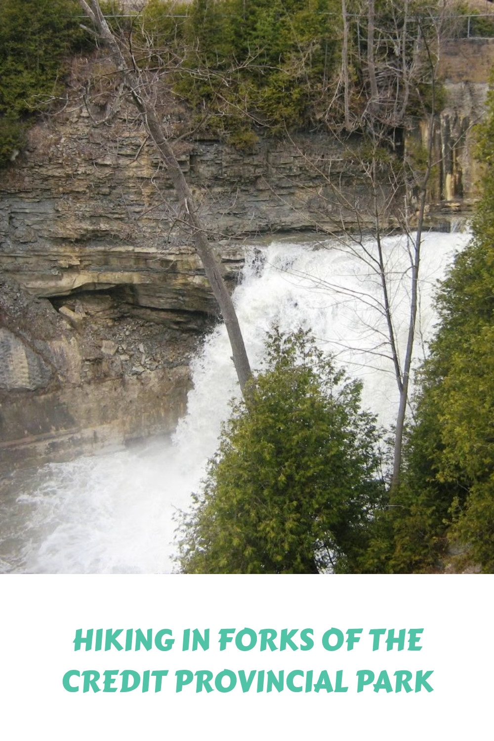
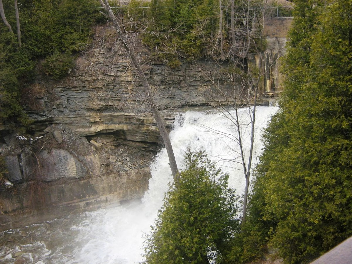

The Forks of the Credit Provincial Park in Caledon is a favourite of mine; not only is it scenic with a variety of hiking trails, but it is also only a short drive from my Toronto home.
Here you will find information on the park trails and also sections of the Bruce Trail, Elora Cataract Trailway, and the Trans Canada Trail that cross the park.
This is a fun area to hike with a waterfall, wildlife, lots of small hills, the Credit River, some stairs, and a variety of trails. Overall is relatively suitable for families with kids and more experienced hikers.
Forks of the Credit Trail Details and Information

Park Classification: Natural Environment day-use park, which was established in 1985
Hiking: numerous trails cross the park, and by combining a few, it is easy to create a circle route. The distance will depend on which trails are chosen.
Difficulty: Hikers will find a moderate level with rolling hills on the trails and the stairs.
Elevation gain: ranging from 37 to 290 meters, depending on the trails chosen.
Suitable for: families with kids, experienced hikers, dogs on a leash, cyclists, and those looking to do some fishing. Horseback riders are welcome on the Trans Canada Trail only.
Trailhead Location: AllTrails map to Forks of the Credit Provincial Park. Bruce Trail map 15, Caledon Hills Club.
Things to Know Before Visiting Forks of the Credit
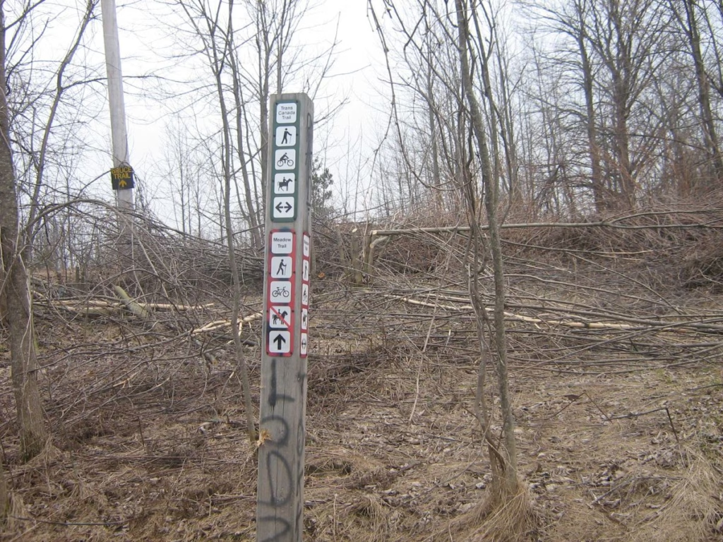
Go Early: The parking lot can be busy on weekends and during the autumn season.
Dogs: Are permitted on the trail, provided they are on a leash
Cost: A daily vehicle permit, which can be booked up to 5 days in advance of arrival, is required
Watch the Weather: During the winter, the stairs can be very icy. Following a rainstorm, some of the trails can be muddy and slippery.
Advisory: For safety reasons, off-trail travel, rock climbing, and scrambling near the Falls and in the Credit River gorge are prohibited activities.
Getting to Forks of the Credit
Main Entrance: From Hwy 401, head north on Hwy 410 until it merges with Hwy 10 and continue north. Turn left (west) on Forks of the Credit Road and go for about 3 km, turning right on McLaren Road. Continue for about 3.5 km before turning left onto a long lane leading to the parking lot.
The parking lot is on top of a hill with picnic areas. There are portable washrooms located there.
Forks of the Credit Provincial Park Trails
Meadows Trail
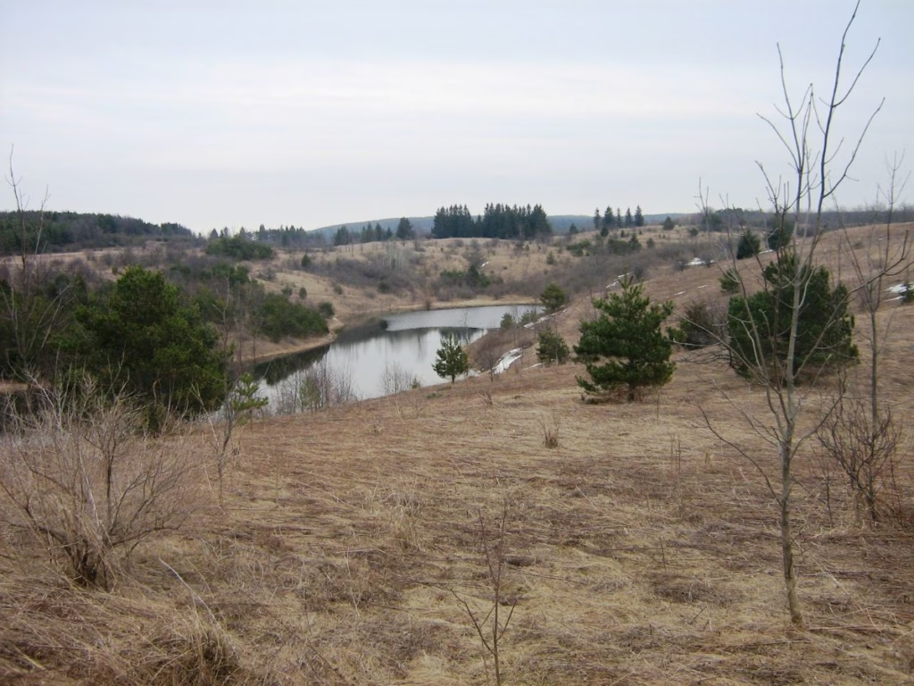
A 2.5 km moderate trail from the parking lot and over rolling terrain, passing Kettle Lake until reaching the Bruce Trail. From there, it is flat along an open field and the top of a ridge as you walk towards “the Ruins”. Overall, there is 44 metres of elevation gain and 58 metres of elevation loss. It is mostly in an open area.
Ruins Trail

This trail is under a kilometre in length but includes a lot of stairs and several bridges over the Credit River. Further along, you come to “the ruins,” which are a former power station next to the Cataract Falls.
There is a viewing platform which is sometimes closed. People used to park in Cataract, but that parking lot is closed, and local parking can now be difficult. Whatever route you take in the park, incorporate this section.
The Mill Pond Side Trail (part of the Bruce Trail) also connects with an easy hike of 1.6 km around the pond.
Dominion Trail
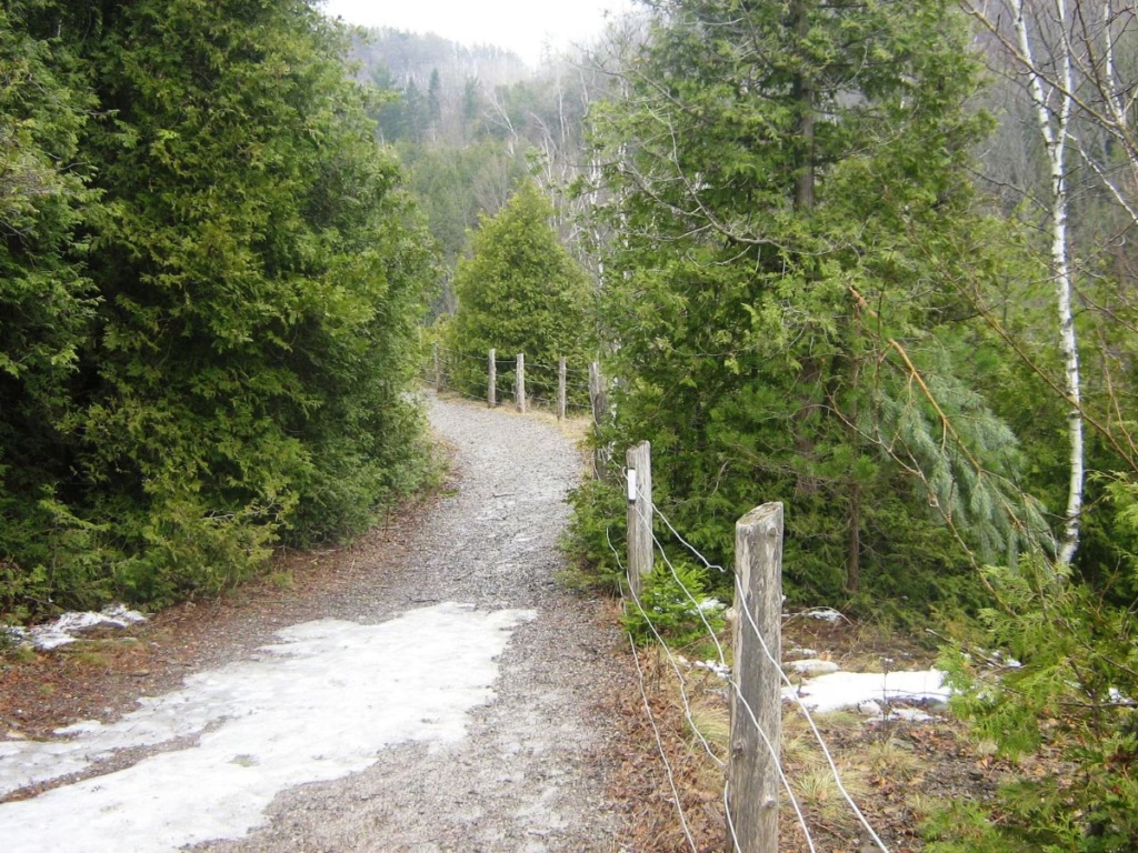
A 1.2 km easy park trail connecting with the Meadow and Ruins Trails on the other end. It is along the route of the former Dominion Road and follows the Credit River until it meets the main Bruce Trail, where it ends.
Kettle Trail
The short side trail is a short connecting trail along the west shore of Kettle Lake.
Trans Canada Trail
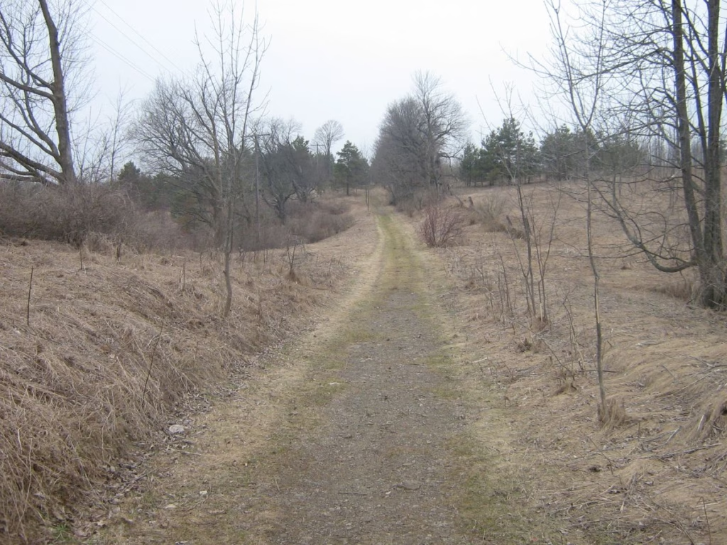
The Trans Canada Trail enters the park next to the parking lot and continues over rolling terrain on the south side of Kettle Lake. It then turns north along a flat laneway until connecting with The Ruins Trail. However, this trail continues into the village of Cataract.
Bruce Trail
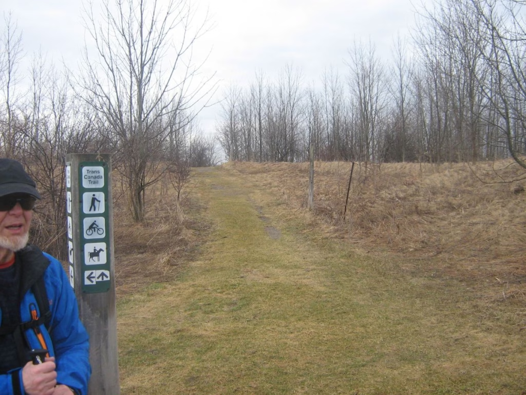
From the south, the white-blazed main trail passes the popular Belfountain Conservation Area and down the middle of quiet Dominion Street in Brimstone. Where the street ends, the trail continues in a loop around the southern part of the park, connecting with the Meadows and Dominion Trails.
This section is perhaps the most scenic in the park, with views of the ski hills, the surrounding countryside and a nice walk through a forested area.
Elora Cataract Trailway

The Elora Cataract Trailway crosses the north end of the Forks of the Credit and continues for 47 km to the town of Elora. Now, a rail trail is used by cyclists and hikers.
My Hiking Route In Forks of the Credit Park
AllTrails calls this the Forks of the Credit Trail, but it is really just a combination of other trails. I follow this 9.7 km route plus a short side trip to view the interesting cottages along Dominion Street in Brimstone.

Right from the start at the trailhead while standing next to the park map display, you have sweeping views to the west over Kettle Lake and the hilly terrain you are about to tackle. Head off down the Meadow Trail to the right, which dips down to water level before rising again on a low hill.
Once we spotted deer in this section, but today there was only the hill to climb. When you reach the Trans Canada Trail, continue straight across it until reaching the Trans Canada Trail at the top of the hill (white blazes).
Turn right and follow the Trans Canada Trail as it winds along the rim of the hill, passing a scenic viewpoint (with a bench) of the valley below and the town of Cataract on the other side. You can also see the Elora Cataract Trailway across the valley, used by cyclists and walkers heading to Elmira and Elora.
Shortly after, turn left and take the stairs on the Ruins Trail down the hillside to the bottom. It is worth a short detour to the right to the bridge to see the raging Credit River.
Returning to the stairs this time, you soon pass the Hydro Station ruins. After a short distance, you arrive at a scenic viewpoint (sometimes closed) overlooking the Cataract waterfalls as the Credit River drops to the valley floor.
To the west, you also have excellent views as the valley curves to the left, and in the autumn, it is very colourful. Also across the way are railway trails currently used at times for a scenic train ride from the city.
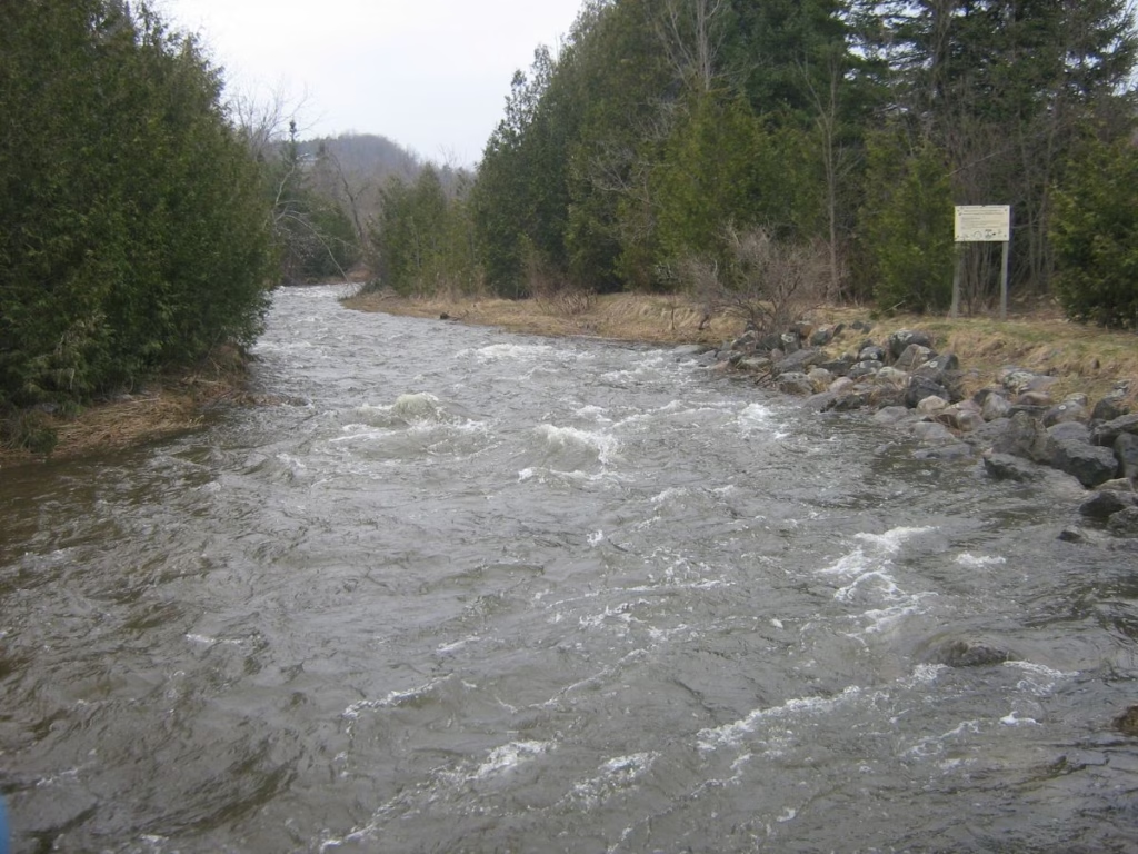
The Dominion Trail follows the river, and you should too, as it winds through the forest. After a few kilometres, you intersect with the Bruce Trail, and you can also see some washrooms on your left. A great lunch spot is to the right by the river and at the bottom of the valley with views of the fast-flowing Credit River.
The park staff has some information signs about the various types of fish that can be found in this section of the river.
Follow the white signs of the Bruce Trail until reaching a gate at the south end of the park. A nice side trip is to walk along Dominion Street in the quaint village of Brimstone, admiring the homes until you reach the Forks of the Credit itself. Return to the south gate.
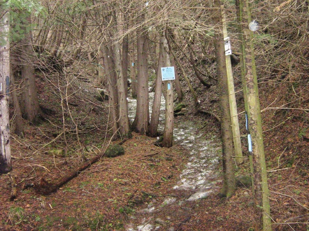
Just past the south gate, you will notice the Dorothy Medhurst Side Trail on your right, which you should take. It is not fully shown on the park maps as it is outside the boundary.
Follow the blue blazes up the steep hills with ropes in sections to hang onto as you walk up the steps. After a while, you come to a clearing on the hill and should turn around to view the valley with the ski hills in the distance. Continue to the end of the blue blazes (marked by a “T” blaze) and turn left on the main trail again (while blazes). You are still on private property at this point, so be sure to be respectful; a sign will remind you.
The trail at this point wanders through sumac trees and along a ridge with great views. There is a stile to assist you over the fence when you arrive back in Forks of the Credit Provincial Park. This section can be very icy in the early spring. The first trail you intersect with is for mountain bikers, but a short distance further along, take the turn to the right.
You will soon join the Trans Canada Trail again, which you will follow a little to the right (with the ruins of a barn and kettle lakes on your left) as it curves before bringing you right back to the parking lot.
Best Time to Visit
The best time for Forks of the Credit Provincial Park hiking is early October to catch the autumn colour, but this park is a joy to hike anytime from April to September.
The park is open all year. Cross-country skiing and snowshoeing in the winter on the hiking trails. Note that the trails are not track set.
Forks of the Credit Park Fees

For further details, check the official website of Forks of the Credit Provincial Park. Go to the Ontario Parks Reservation System for vehicle permits, and book up to 5 days in advance of your visit.
Other Hikes near Forks of the Credit
Just to the north is the Mono Cliffs Provincial Park, also along the Bruce Trail, with several excellent hiking trails. Further south, near Waterdown, is the Smokey Hollow Hike along Grindstone Creek. There are many excellent Ontario Provincial Parks near Toronto.
Just to the east and north of Toronto, you will find Rouge Urban National Park with plenty of hiking opportunities.
Resources
An excellent resource is Caledon Hikes: Loops & Lattes by Nicola Ross, available from Amazon, which includes detailed instructions about 37 different loop routes all in the Caledon region.
Essentials to bring on a hike
Osprey Day Pack – to carry your lunch, snacks, water bottle, and other small items
Hiking Poles – this pair is lightweight and collapsible
Hiking Shoes – low hiking shoes
LifeStraw Water Bottle – removes Bacteria, parasites, and microplastics
Rain Poncho – lightweight and waterproof, designed for hikers
Hat – wide-brim waterproof sun hats for protection while hiking.
Final Thoughts on Forks of the Credit Provincial Park
I love the variety of trails offered at Forks of the Credit Provincial Park, which is a short drive from Toronto, perfect for a day of hiking.